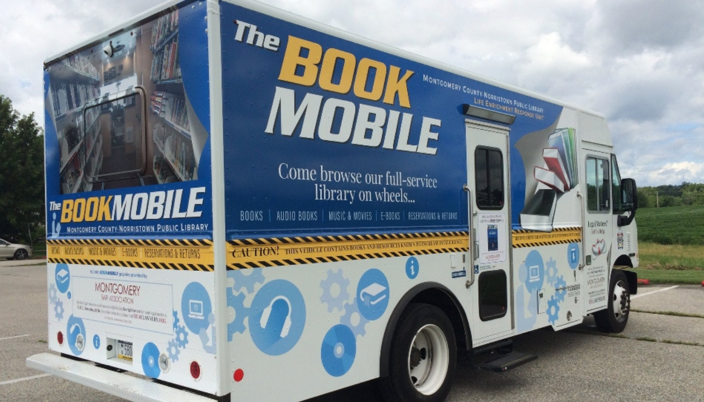
Planning Library Bookmobile Stops with PolicyMap
By leveraging PolicyMap’s comprehensive datasets and mapping capabilities, libraries can ensure their bookmobiles are on the move and on a mission to serve effectively. Through strategic planning and continuous assessment, libraries can turn their bookmobile programs into robust community engagement and enrichment tools.
Grant Success using PolicyMap for Applications & Strategic Allocation
Learn how to use PolicyMap as a transformative resource in the competitive realm of grant writing.
Going Beyond Census Data: Better Community Analysis For Public Libraries
Reviewing trends in demographic data reveals what local communities look like and how they are changing. Most libraries rely on data from the U.S. Census Bureau to inform decisions about the distribution of funds and assistance to the locations with the most need. Community stakeholders determine where to build new branches, host programs, and find their most vulnerable patrons based on census data. But to improve services, programs, and resources, to plan strategically for the future, and to realize your library’s full potential, consider going beyond demographics.
Strategic Planning & Grant Application Resource for Public Libraries
When libraries conduct a SWOT analysis (Strengths, Weaknesses, Opportunities, Threats) to identify the most critical issues facing their communities, PolicyMap can simplify the exercise with comprehensive data and an easy-to-use mapping interface. Quick identify problems such as the need for internet access, food insecurity, health factors and housing conditions.
Library Webinar: Mapping, Data, and Community Impact
PolicyMap’s Aaron Klein hosts the first webinar session developed in partnership with the California Library Association. In this session, you will learn how to use PolicyMap to develop a better understanding of the community within your library district.
Library Webinar: Strategies for Strengthening Support for Children and Families through SDOH Insights
In this session explicitly tailored for California State Public Libraries, join us to uncover innovative strategies for enhancing support for your library district’s children, youth, and families.
Monterey County Free Libraries
Monterey County Free Libraries (MCFL) staff uses PolicyMap as an effective strategic planning resource for more impactful grant applications and insightful reporting.
Fort Vancouver Regional Libraries
To identify and understand digital equity needs across three counties in southwest Washington State, FVRLibraries relied on PolicyMap’s local data and mapping tools.
The IMLS Libraries point layer has been updated with the most recent 2021 data. New indicators have been added to the info bubble, including data around library programming and ratio of Wi-Fi sessions to visits. Graduation Rate data has been updated through 2021. This dataset has graduation rates by different cohorts.
Updated SNAP Retailer Locations are now updated on PolicyMap for 2023.
Limited Supermarket Access areas from the 2023 Reinvestment Fund Limited Supermarket Access Analysis have been added to PolicyMap.
Predominant Race/Ethnicity has been updated on PolicyMap! These indicators use ACS data on race/ethnicity to identify non-overlapping racial and ethnic categories provided by the US Census Bureau, including the ethnic category Hispanic and seven Non-Hispanic racial categories: White, African American, American Indian or Alaska Native, Asian, Native Hawaiian or Pacific Islander, some other race, and two or more races.
The Great Schools data has been updated to 2024. This data no longer includes district level data. This update only includes school performance points and calculated distance to schools.
The FEMA Disaster Declaration data has been updated through May 2024.
Mental Health Treatment Facilities, Drug and Alcohol Treatment Facilities, and Buprenorphine Physician location point datasets from the Substance Abuse and Mental Health Services Administration (SAMHSA) have been updated on production to 2023.
The new CDC PLACES data is up on PolicyMap. It includes new indicators on people living with disabilities: six disability types (hearing, vision, cognition, mobility, self-care, and independent living) and any disability.
The Environmental Protection Agency (EPA) Environmental Justice Screening and Mapping Tool (EJScreen) is now available on PolicyMap! The EPA EJScreen includes environmental indicators, socioeconomic indicators, and EJ/supplemental indexes that summarize how environmental indicators and specific socioeconomic indicators interact in the same location.
We are committed to our promise of curated, cleaned, standardized, and always updated data. We’re posting real-time updates on our website and X (formerly known as Twitter) .
Love PolicyMap? Let us know! We want to hear from you. Take 2-3 minutes to tell us about your experience using PolicyMap.
To thank you for your time and feedback, we are offering $10 gift cards .
Open PolicyMap Training Sessions Offered twice a week. Register here.
Level 1: Learning the basics of PolicyMap Level 2: Learn the Data Loader, Multi-Layer Maps, and other Advanced Features
Open to non-subscribers. Course times rotate weekly. Don’t see a time that works for you? Contact us.
Pennsylvania Library Association Conference Oct 6 – 9, 2024 Harrisburg, PA
We’re excited to exhibit at The National Association of County and City Health Official’s Annual Conference and join local health officials as they envision the future of local public health in their communities. Stop by the PolicyMap booth to learn more about our geographic data offerings! Learn more .
California Library Association Oct 17 – 19, 2024 Pasadena, CA