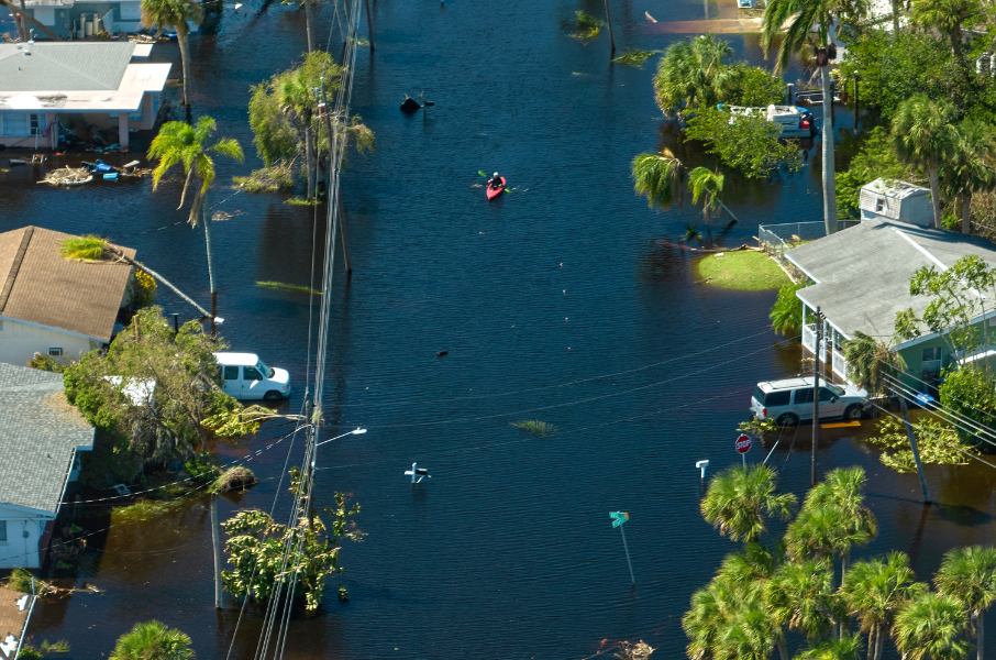
Mapping the Interplay of Flood Risks, Population Density, and Property Values in Southern Florida
The 2023 FEMA Flood Maps are now updated on PolicyMap. The Flood Zone Designations provides an in-depth risk analysis of flood hazard zones and serve as a poignant reminder of the escalating threats faced by numerous regions across the state. With this update, PolicyMap’s subscribers gain access to a wealth of insights that possess the power to shape strategies, policies, and proactive responses to the pressing challenges at hand.
PolicyMap’s Latest Update Lets Users Customize Color Ranges
PolicyMap now offers users the ability to create custom color ranges. The new flexibility in the application allows users to design maps that are consistent with their organization brand colors, comply with regulatory or government requirements, or follow industry standards.
Coming Soon: Curated Collection of Social Determinants of Health Data
The new collection will help health organizations improve awareness of social risks, adjust clinical plans, link clinical and community services with patient needs, and enhance advocacy efforts.
California Public Library Staff Now have Statewide Access to PolicyMap
PolicyMap is now available to all California public library staff as part of a statewide initiative by the California State Library and the Pacific Library Partnership to support libraries in making equity-based, data-driven decisions for community impact.
Data from the Health Resources and Services Administration (HRSA) on Medically Underserved Areas (MUA) is now updated on PolicyMap for 2023. This dataset includes information on all census tracts designated as medically underserved areas & populations, as well as an index of medical underservice.
Love PolicyMap? Let us know!
Open PolicyMap Training Sessions
2023 NACCED Annual Conference