30-days Money-Back Guarantee
Updated on Sep, 2026
Programming, Programming Languages, Python
Training 5 or more people ?
Get your team access to 10000+ top Tutorials Point courses anytime, anywhere.
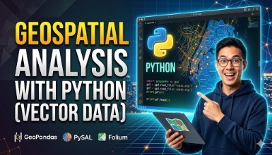
This "Geospatial Analysis With Python" is a beginner’s course for those who want to learn the use of Python for GIS and geospatial analysis. This course will cover the basics of geopandas for beginners for geospatial analysis, matplotlib, and shapely, along with Fiona. We will only do vector data analysis using Python in this course. You all might have known about GIS analysis with different software, but this is a new approach to using Python for GIS analysis using the geopandas library.
GeoPandas is an open-source project to make working with geospatial data in Python easier. It can extend the way we have been using pandas with a speciality in geodata.
You will learn the following topics in this course:
Introduction to geospatial data and geopandas
Hands-on Google Collab
Geopandas Installation
Reading Vector Data Using Geopandas
Reading Meta Data Using Geopandas
Map Visualization using geopandas and matplotlib
Working with attribute data in python geopandas
Working with geometry in python geopandas
Web Map In Python Using Fiona
Let's get deep into the topics:
Geopandas: GeoPandas is an open-source project to make working with geospatial data in Python easier. GeoPandas extends the datatypes used by pandas to allow spatial operations on geometric types. Geometric operations are performed by shapely. Geopandas further depends on Fiona for file access and matplotlib for plotting.
Matplotlib: Matplotlib is a plotting library for the Python programming language and its numerical mathematics extension NumPy. It provides an object-oriented API for embedding plots into applications using general-purpose GUI toolkits like Tkinter, wxPython, Qt, or GTK.
Using the Geopandas library to do geospatial analysis.
Use of the matplotlib library to visualise the map.
Working with geometry and attributes of vector data.
A little knowledge of python, some basic concept of vector data. You will learn the remaining in the course.
Check out the detailed breakdown of what’s inside the course
Hello Everyone, I am Gaurav Parajuli from Nepal. I have completed my Bachelor's Degree In Geomatics Engineering and have been a part of different GIS-related projects and I am currently working as a Freelance GIS Expert. I am happy to be providing you with different courses to boost up your GIS knowledge.
Use your certificate to make a career change or to advance in your current career.
Become a valued member of Tutorials Point and enjoy unlimited access to our vast library of top-rated Video Courses
Master prominent technologies at full length and become a valued certified professional.