By Patrick Wiegand (author)
Hardback In Stock £16.50 £14.85
Paperback In Stock £12.99 £11.69
View All Editions (5)
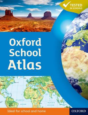
Aimed at 12+/ Year 7+. An accessible atlas that targets the core geography case study requirements at Key Stage 3 and retains a large proportion of generic mapping content.
Featuring easy-to-read digital maps, this atlas uses satellite images, photographs and artwork to enhance the themes chosen. The level of detail is accessible to 10+ geographers and the topics are specifically chosen to cover the key curriculum requirements.
the best books for 9-12 year olds · the best books for teenagers
The Ordnance Survey Kids Adventure Book
Dr Gareth Moore & Ordnance Survey Leisure Limited
Africa, Amazing Africa: Country by Country
Bear Grylls Survival Skills Handbook: Maps and Navigation
Aleksandra Mizielinska and 1 more
The LoveReading4Kids Editorial Team have read and reviewed Oxford School Atlas and determined it is suitable for children aged 9-12 years old
Oxford School Atlas features in the following genres: Atlases & Maps, Reference Works, Children’s, Teenage and Educational, Featured Books for 9+ readers, Recommendations, Featured Books for 11+ readers
Hardback, Paperback. £11.69, down from the £12.99 cover price. In Stock.
Oxford School Atlas was written by Patrick Wiegand and published by Oxford University Press
Oxford School Atlas has 96 pages
£11.69, reduced from £12.99. In Stock.
©PTC International Ltd T/A LoveReading is registered in England. Company number: 10193437. VAT number: 270 4538 09. Registered address: 157 Shooters Hill, London, SE18 3HP. Terms & Conditions | Privacy Policy | Disclaimer
The National Year of Reading starts here. Join thousands of families and schools supporting reading for pleasure across the UK.